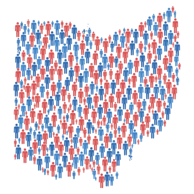
Ohio Legislative District Maps Available at Cleveland State University
The Levin College of Public Affairs and Education at CSU, through its Northern Ohio Data and Information Service (NODIS), has created large-format maps for Ohio’s House and Senate districts for the current 136th General Assembly. The maps are available for free download and serve as a valuable resource for lawmakers, researchers, and the public.
The collection includes 3-by-4-foot wall maps in PDF format for Ohio House and Senate districts that experienced boundary changes since the previous General Assembly. The Ohio Legislative District Maps are available online through NODIS' website. Current Ohio Congressional District Maps are also available online.
Each map provides detailed boundaries of municipalities and townships, and includes streets and highways, rail, and water bodies. The maps aid legislators, policymakers, advocates, journalists, and constituents in understanding the districts. The maps have been printed and distributed to members of the Ohio General Assembly in partnership with Levin College and CSU’s Office of Government Relations.
“Legislative district maps are essential tools for transparency and civic engagement,” said Dr. Mark Salling, the College’s Director of NODIS. “They help ensure that constituents, legislators, and public servants understand the landscapes that define the state’s political geography and representation.”
An expert in redistricting, Geographic Information Systems (GIS), and demographic analysis, Dr. Salling has been at Cleveland State University since 1981. He leads NODIS and continues to conduct research. Though semi-retired, Dr. Salling remains active in public service and professional organizations, including the Geospatial Professional Network (formerly the Urban and Regional Information Systems Association).
In addition to his research, Dr. Salling leads an Introduction to ArcGIS Pro workshop through Levin College's professional development program. The workshop provides hands-on training in GIS software tools and techniques and is open to students, professionals, and community members. Learn more about the ArcGIS Pro workshop.
The availability of these maps supports ongoing civic education, policy research, and legislative transparency. As Ohio undergoes continued redistricting and demographic change, accessible and accurate mapping remains a key resource for equitable representation.
For more information or to access the full collection of district maps, visit the NODIS website.