NEOMDR
Contact Information
Mailing Address
Cleveland State University
2121 Euclid Avenue, UR 32
Cleveland, OH 44115-2214
Campus Location
Urban Building, Room 32
1717 Euclid Avenue
Cleveland, Ohio 44115-2214
Contact Us
Phone: 216.687.3716
m.salling@csuohio.edu
Northeast Ohio Metropolitan Data Resource
MAPS
Go directly to NEOMDR's Interactive Map page or view below for directions on how to use our interactive maps.
| Directions | |
|---|---|
| Some of the data are shown in an interactive mapping format. | 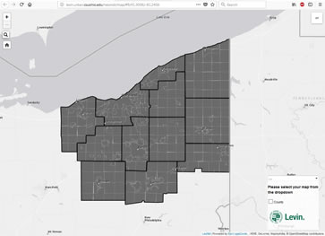 |
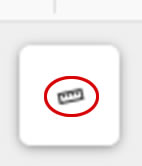
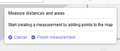
| The following functions and features are available: | |
| 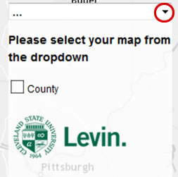 |
| 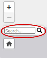 |
|  |
|   |
Contact Information
Mailing Address
Cleveland State University
2121 Euclid Avenue, UR 32
Cleveland, OH 44115-2214
Campus Location
Urban Building, Room 32
1717 Euclid Avenue
Cleveland, Ohio 44115-2214
Contact Us
Phone: 216.687.3716
m.salling@csuohio.edu